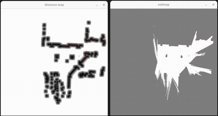
3D Point Cloud Mapping
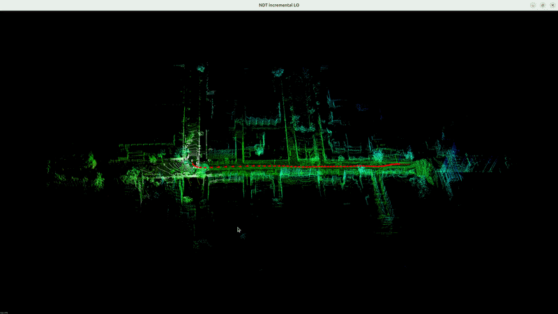
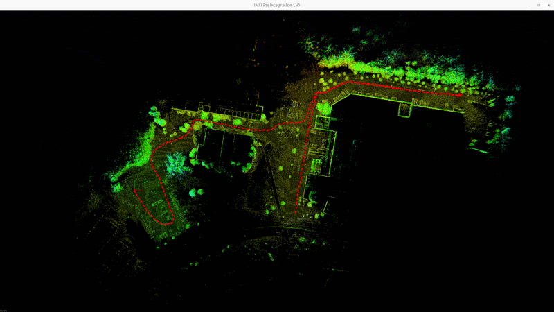
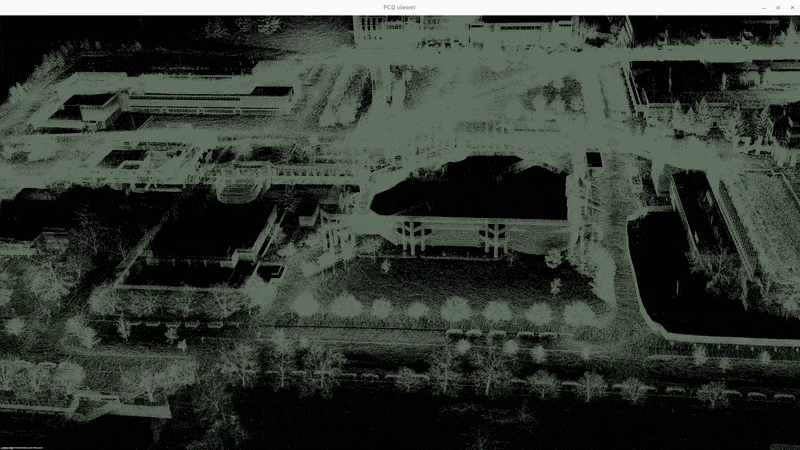
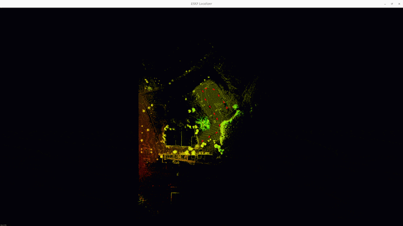
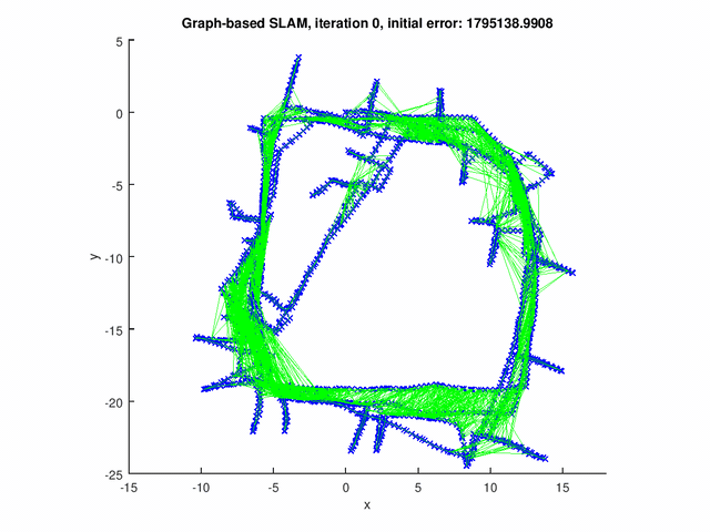
This project designs and implements a complete pipline of the 3D point cloud mapping system. The system is comprised of two parts: online frontend module and offline backend module. The frontend is responsible for collecting sensor data (3d lidar scan, imu data, gnss data), creating keyframes and pose graph structure, and saving point cloud data. The backend then perform pose graph optimization to reduce accumulated error and improve the consistency of the map. The main job of the backend is to detect and evaluate the loop closure, eliminate sensor data outliers and optimize the keyframe poses and partition the map.